What can ground penetrating radar detect underground?
Ground penetrating radar, commonly called GPR, is a non-intrusive method used to investigate what may be beneath a surface before excavation, drilling or construction begins. It can reveal buried utilities and other subsurface features by recording reflections from changes in the electrical properties of materials below ground.
That does not mean GPR produces a perfect picture of every object underground. It detects reflections and anomalies that must be interpreted in context. Soil type, moisture, target size, burial depth, surface conditions and the radar frequency being used can all affect what is visible. For utility locating, GPR is most useful when it is treated as one part of a broader investigation rather than as a universal detection tool.
What can ground penetrating radar detect underground?
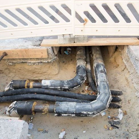
GPR can detect a wide range of buried objects and subsurface changes when there is enough contrast between the target and the surrounding material. For utility-related work, common targets can include:
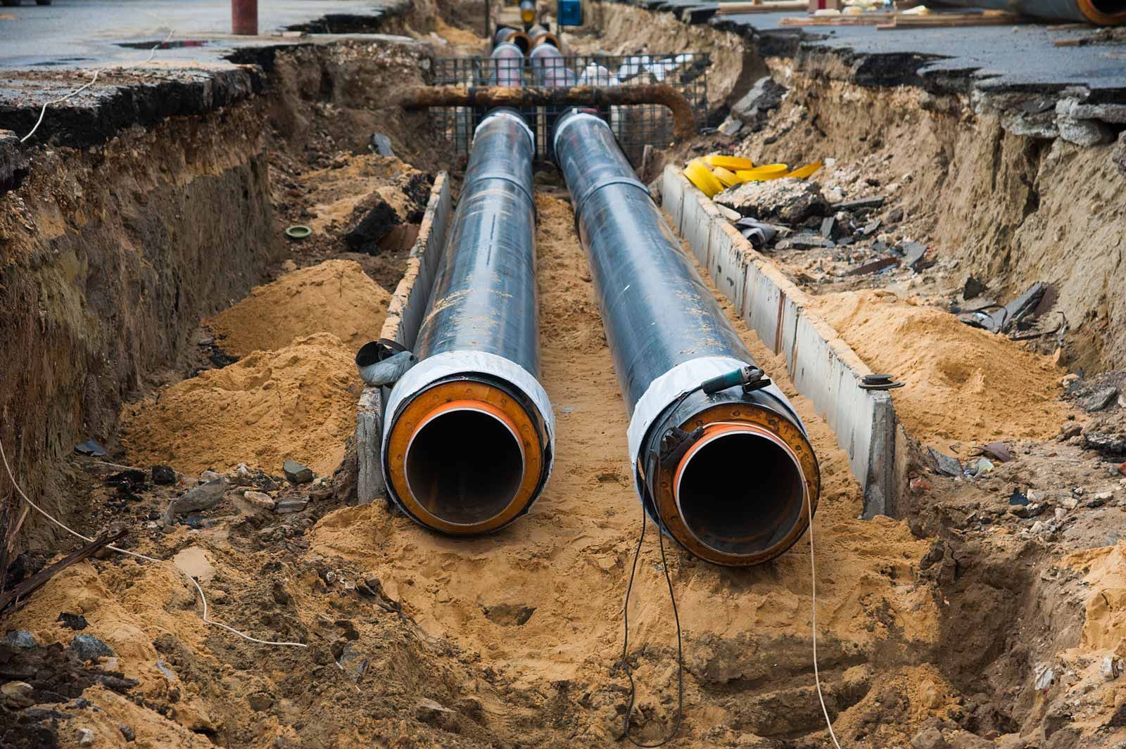
- metallic and non-metallic pipes
- water mains and service lines
- gas pipelines
- electrical and communications conduits
- buried cables in suitable conditions
- duct banks and service corridors
- underground tanks
- voids and cavities
- changes in pavement, fill or soil layers
- some structural and geological features
The important point is that GPR responds to changes in subsurface electromagnetic properties. It does not automatically identify a reflection as a specific utility type. An experienced locator interprets the shape, continuity, depth behaviour and site context of the response, then compares it with available plans, visible infrastructure and other locating information.
Smooth Flow Hydro uses GPR and other locating methods as part of its underground service locating capability across Adelaide and regional South Australia.
How does ground penetrating radar work?
A GPR unit sends short pulses of electromagnetic energy into the ground through an antenna. When that energy encounters a boundary or object with different electrical properties from the surrounding material, part of the signal is reflected back toward the receiver.
The system records the strength and travel time of those returning signals. As the operator moves the antenna across the surface, repeated measurements build a subsurface profile. Pipes and other discrete objects often create recognisable reflection patterns, while broader changes in soil, fill or pavement can appear as layers or zones.
According to the US Environmental Protection Agency, GPR can be used to investigate discrete objects such as pipes and utilities, as well as geological structure, voids, tanks and other subsurface features. The same guidance also emphasises that penetration depth and image quality vary with conductivity, moisture, frequency and other site conditions.
Can GPR detect metal pipes?
Yes. Metallic pipes and other conductive objects can create strong radar reflections when conditions are suitable. Their size, depth, orientation and surrounding material still influence the clarity of the response.
For many metallic utilities, electromagnetic locating can also be effective because the service can carry or be coupled to an electromagnetic signal. That is why GPR and electromagnetic locating are often complementary rather than interchangeable. A locator may use electromagnetic equipment to trace a conductive service, then use GPR to investigate surrounding features or targets that are not responding clearly to the electromagnetic method.
Can GPR detect plastic and non-metallic pipes?
GPR can detect some plastic, concrete, clay and other non-metallic pipes because it does not rely on the target being electrically conductive. Instead, detection depends on whether the buried pipe and its contents, bedding or surrounding soil create a strong enough change in electromagnetic properties to generate a recognisable reflection.
This is particularly useful when investigating services that cannot be traced using conventional electromagnetic locating alone. However, detection is not guaranteed. A small plastic pipe at depth in wet clay may be far more difficult to distinguish than a larger pipe in dry, relatively low-conductivity ground.
Smooth Flow Hydro provides water main locating and gas pipe locating for projects that need buried pipe networks investigated before excavation or construction.
Can GPR detect underground cables?
GPR can reveal buried cables, conduits and duct systems in suitable conditions, but the response can vary significantly. A large conduit bank may be easier to identify than a small individual cable. Depth, soil conditions, cable size, nearby utilities and surface reinforcement can all affect the result.
Electrical and communications services are therefore commonly investigated using a combination of records, electromagnetic cable locating and GPR rather than relying on one method. Smooth Flow Hydro's cable locating services are designed for this broader underground service investigation process.
Can GPR detect voids, tanks and other subsurface features?
Yes, GPR is used for more than utility locating. Depending on the survey objective and ground conditions, radar can also help identify:
- voids or cavities beneath surfaces
- buried tanks and larger objects
- changes in fill or soil layers
- bedrock interfaces
- pavement thickness and subsurface construction
- some groundwater or moisture-related boundaries
These applications rely on the same principle: the radar responds where subsurface materials have sufficiently different electromagnetic properties. The result still requires interpretation, and specialist geophysical investigation may be appropriate where the objective extends beyond ordinary utility locating.
How deep can ground penetrating radar detect?
There is no single reliable depth figure that applies to every GPR survey. Penetration depends on the ground, target and equipment configuration. Lower-frequency radar can generally penetrate deeper but provides lower resolution, while higher-frequency systems can provide more detail at shallower depths.
Electrical conductivity is one of the biggest constraints. Dry sand, gravel and some rocky materials can allow good penetration, while conductive clay, saline ground and saturated soils can attenuate the radar signal quickly. The US EPA notes that conductive groundwater and clay minerals can significantly limit depth of investigation.
Target size also matters. A large tank or pipe may remain detectable at a depth where a small cable would not produce a sufficiently clear response. For that reason, quoted maximum detection depths should never be treated as a guarantee for a particular project.
What ground conditions make GPR less effective?
GPR performance can be reduced by several site conditions, including:
- wet or highly conductive clay soils
- saline ground or saline water
- deep or very small targets
- dense clusters of overlapping utilities
- reinforced surfaces or extensive surface metal
- uneven terrain that limits good antenna contact
- strong interference or clutter from nearby objects
- targets with little electrical contrast from the surrounding material
Interpretation can also become more difficult when multiple services run close together. A radar profile may show several reflections, but determining which response corresponds to which asset often requires plans, surface evidence, electromagnetic locating and sometimes physical verification.
This is why GPR should not be marketed as a method that can locate every buried service with guaranteed accuracy. Its value is strongest when a skilled locator selects the right method for the site and understands the limitations of the data.
What is the difference between GPR and electromagnetic utility locating?
Electromagnetic locating and GPR work in different ways. Electromagnetic locators trace signals associated with conductive utilities such as many electrical cables and metallic pipes. GPR sends radar energy into the ground and looks for reflections from changes in subsurface materials.
Because of that difference, the two methods can fill gaps for one another. Electromagnetic locating can be highly effective for tracing an accessible conductive service over distance. GPR can add information about non-conductive targets, surrounding features and utilities that cannot be traced conventionally.
Smooth Flow Hydro's utility locating services can combine appropriate locating technologies according to the asset type, site conditions and project objective.
Does a GPR result confirm the exact position of a utility?
Not always. GPR can provide valuable information about the likely location and depth of a buried feature, but the interpreted response remains a subsurface survey result. Where the exact physical position of a service is critical before excavation, potholing may still be required.
Targeted hydro vacuum excavation can expose a selected utility so its actual depth and position can be visually confirmed. This creates a clear distinction between locating and verification: locating identifies where an asset is likely to be, while controlled excavation can physically prove the service at a particular point.
If a project requires physical confirmation after the locating stage, Smooth Flow Hydro also provides utility excavation services around buried infrastructure.
Need buried services investigated before excavation? Explore Smooth Flow Hydro's underground service locating and utility excavation capabilities to determine the most suitable sequence for your project.
How is GPR used before excavation?
For a typical construction or civil project, GPR may form one stage in a wider locating process:
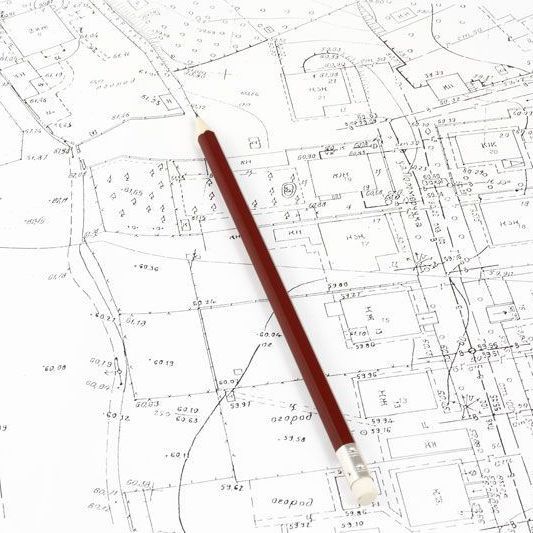
- Review available BYDA and asset-owner plans.
- Inspect the site for visible service clues and access points.
- Use electromagnetic locating where suitable for conductive services.
- Use GPR where it can provide additional subsurface information.
- Mark interpreted service alignments on the surface.
- Physically verify critical assets by potholing where required and permitted.
- Use the combined information to plan excavation, drilling or trenching.
This staged approach is more reliable than assuming one technology can answer every underground service question. It also aligns with the broader principle behind Before You Dig Australia's Five Ps: plan, prepare, pothole, protect and proceed.
Ground penetrating radar and utility locating across South Australia
Smooth Flow Hydro provides underground utility locating for civil, commercial and infrastructure projects across Adelaide and regional South Australia. GPR can form part of the investigation where site conditions and asset types make radar suitable, alongside other locating methods and controlled excavation where physical verification is needed.
The company's service range also includes utility mapping, hydro excavation and non-destructive digging, allowing locating information to be carried through into the next stage of project planning.
If you need to establish what utilities may be present beneath a proposed work area, contact the Smooth Flow Hydro team with the site location, proposed excavation footprint and any available utility plans to discuss the locating requirements.